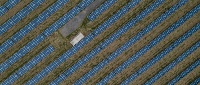
Scientists in Spain have developed thermal imaging maps on high-resolution dense point clouds that display the status and geometry of PV modules and automatic identification of individual solar panels in 3D space. The proposed methodology was found to provide “exceptionally high” accuracy.
Scientists from the University of Jaén in Spain have developed a new method for monitoring PV installations based on remote sensing data. Their method uses an unmanned aerial vehicle (UAV) equipped with a dual RGB and thermal camera that flies over a PV installation. Different algorithms use those two cameras to create 3D models.
“The main contribution of this study is twofold,” the academics said. “First, the thermal image mapping on dense, high-resolution point clouds depicting the status and geometry of PV solar panels, and second, the automatic identification of individual solar panels in 3D space and their thermal characterization along their oriented surface.”
The group used a DJI Matrice 210 UAV equipped with a Zenmuse XT2 camera, which combines a FLIR Tau 2 thermal sensor with a 4K RGB camera. After the device had flown over both urban and rural plants for about half an hour, image processing took place on the Pix4D software.
Computer vision algorithms were used to detect individual solar panels. The software first detects smart edges, then uses morphological operations, later performs edge extraction and finishes with edge filtering. It uses the data collected by the thermal camera to extract the temperatures for each identified panel.
“In the final phase, the average temperature of each solar panel is estimated,” the team explains. “Right now we have a set of 3D points for each panel. Therefore, the next step is limited to retrieving their thermal data and calculating the average temperature. In this way, a representative temperature is calculated for the entire panel.”
After testing the detection method and comparing it with actual on-site results, the scientists found that its accuracy was “exceptionally high”: 99.12% in the urban landscape and 99.31% in the rural landscape. Furthermore, 0.88% and 0.69% of false negatives were observed, respectively.
Regarding the accuracy rates for extracting the temperature of photovoltaic panels, they found the minimum observed value of 0.0010 degrees and a maximum of 0.2607 degrees. “That indicates a high agreement between the manually and automatically extracted temperatures,” she added.
The new method was presented in “Automated detection and tracking of photovoltaic modules based on 3D remote sensing data”, which was published in Applied energy. “This methodology has significant potential to improve the management, monitoring and performance evaluation of photovoltaic solar panel installations, thus contributing to the advancement of renewable energy technologies,” the researchers concluded.
This content is copyrighted and may not be reused. If you would like to collaborate with us and reuse some of our content, please contact: editors@pv-magazine.com.


